An Alternative to Traditional Crown Land Management
The Medway Community Forest Co-op (MCFC) Crown land license area (the area in blue on the map below) is located in Annapolis County near the communities of Annapolis Royal, Bear River, South Milford, Springfield, New Germany, and Caledonia.
The 15,000 ha area was determined through careful analysis of the landscape. The core team for the development of the community forest gathered input from stakeholder representatives, and used available inventory information to identify multiple management criteria to set the right boundaries. The resulting area is the best possible fit of considerations such as roads and access, forest type and volume, watersheds, current parcel boundaries, conservation and biodiversity values, recreation potential, and archaeological knowledge.
Although the area selected offers what we felt to be the best opportunity for a community forest, it is also apparent that scale is a significant constraint to viability. Past management of the forest resource in the area, primarily focused on meeting a pulpwood demand, has had significant influence on the available wood supply today. While there is a mix of stands that will be available for near term operations, much of the area must be tended for many years to restore more balanced Acadian Forest conditions and develop the diversified timber supply needed to meet future economic opportunities. Within the MCFC area, 27% of the productive area is in a regeneration age class and 67% of the productive area is below the maturity levels that would normally support harvest consideration. Although more forest modelling still needs to be carried out to fully scope the impact of this skewed age class distribution, the generally younger forest means the sustainable rate of harvest for at least the next forty years will be lower than the forest’s full potential.

The MCFC license area (blue) is surrounded by a vast network of parks (Kejimkujik in green) and protected areas (Medway Lakes Wilderness Area in yellow and the Tobeatic Wilderness Area in pink).
While harvestable timber volumes may be currently limited on the licence area, the region is generally productive and represents a good diversity of ecosites and habitats. The community forest land lies entirely within the UNESCO Southwest Nova Biosphere Reserve, and is also directly adjacent to Kejimkujik National Park and Historic Site, the Tobeatic Wilderness Area, the recently established Medway Lakes Wilderness Area, and multiple Nature Reserves. The land also encloses a system of lakes and rivers that provide significant recreation values. The area also represented a core cluster of high conservation values (HCVs) that were identified in the former Bowater Mersey management plan. All of these factors are encouraging for both our environmental stewardship goals and for creating new opportunities in eco-tourism.
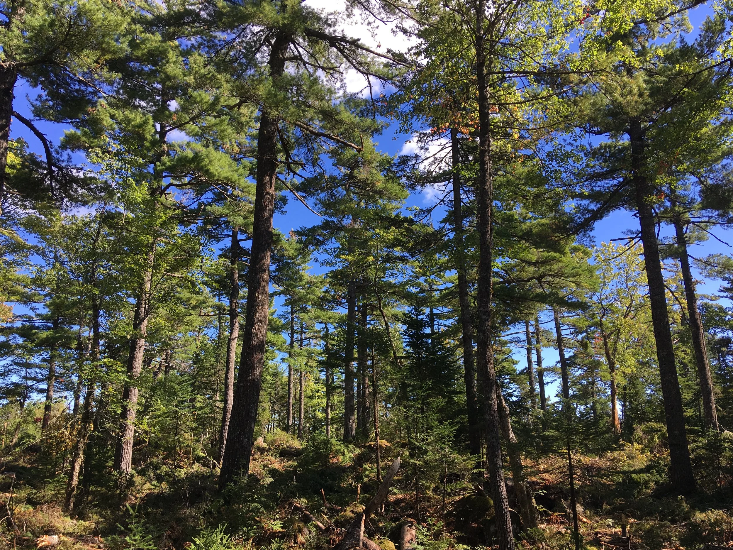
When looking at the map of this area, we invite you to consider both the remarkable opportunities provided by the establishment of this community forest and the management challenges in front of us. It is important to be honest about the impacts of our history of timber extraction and it is equally important to recognize the immense beauty and richness of the forest at the heart of our community.
Video from the signing of our license agreement with the Department of Lands and Forestry (then Department of Natural Resources) in 2015.